Operational Visibility & Efficiency
Leverage real‑time geospatial visualization to monitor end‑to‑end flows, streamline dispatch, and cut dwell times.
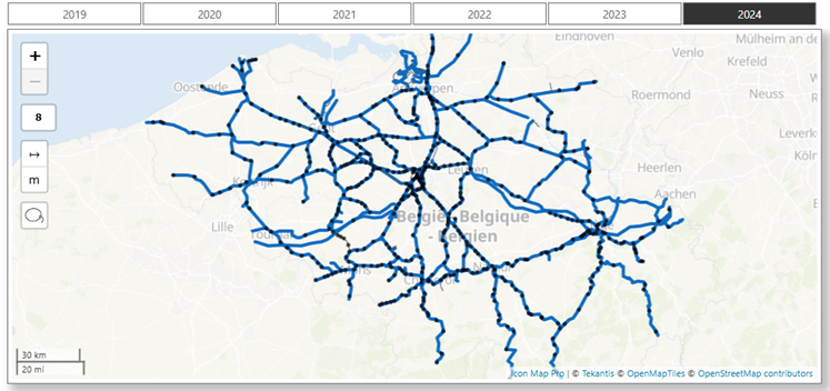
Dynamic route optimization
Recalculate optimal road, rail, or sea legs in response to traffic, weather, or capacity constraints.
Predictive maintenance hotspots
Identify assets with rising failure risk and schedule works before breakdowns disrupt flow.
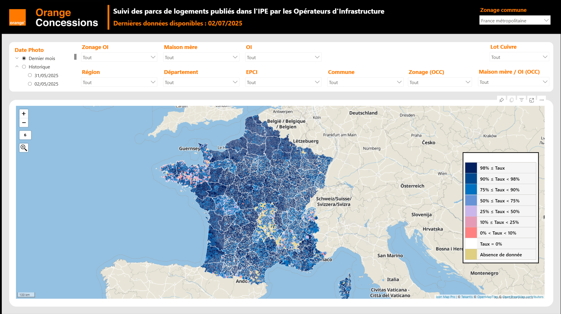
Yard & port heat‑maps
Highlight congestion and idle equipment to speed turnaround and maximize berth and dock utilization.
Live fleet & asset tracking
View vessels, trucks, rail wagons, and containers on a single map to reduce search time and demurrage.
Turnaround & dwell‑time dashboards
Surface variances against service‑level targets and focus teams on the highest‑impact delays.