

Market & Territory Planning
Understand your markets, customers and opportunities at any geography.
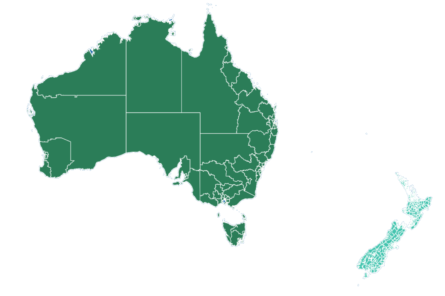
Australian and New Zealand statistical geographies, administrative boundaries and infrastructure layers.
ABS Statistical Areas, electoral and tourism regions for Australia, plus regional, territorial and statistical area boundaries from Stats NZ - designed to drop straight into Power BI reports.
Curated datasets from trusted government and open data sources. All ready to style, filter and bind to your Power BI data.
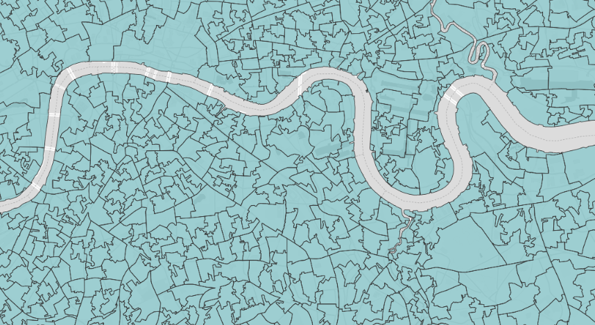
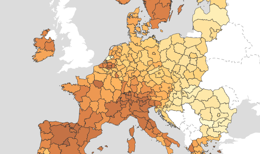
Country, region, county, local authority, census tract and statistical boundaries.
Example layers
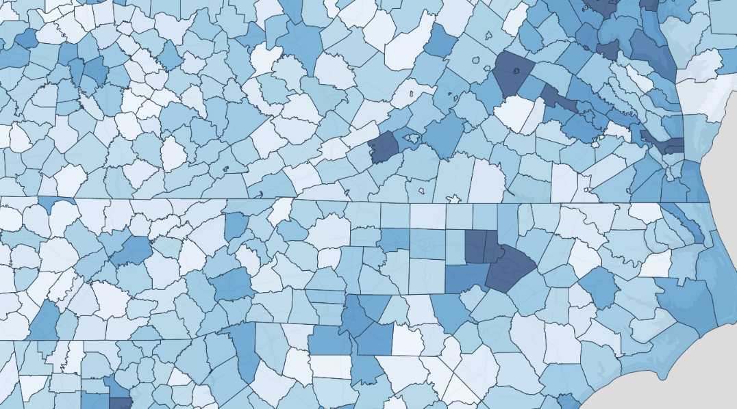
GDP, employment, wages, industry, businesses and consumer markets.
Example layers
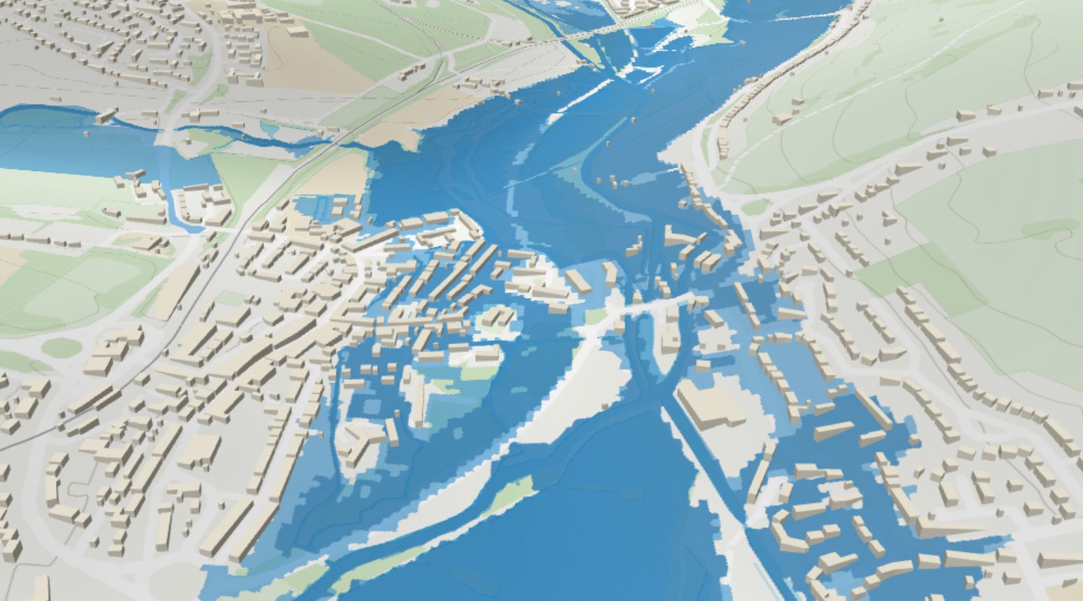
Habitats, ecology, soils, climate, air quality, flood and natural risk.
Example layers
Roads, rail, airports, public transport, EV charging and mobility analytics.
Example layers
Healthcare boundaries, public health indicators and care services.
Example layers
Real-world analyses you can power with Australasia catalog layers in Power BI.
Understand your markets, customers and opportunities at any geography.

Find the right locations using demographics, economic and infrastructure data.

Assess environmental, health and climate risks to protect people and assets.

Analyse movement patterns and accessibility to services and infrastructure.

Target programs, measure impact and drive better outcomes for communities.