
Icon Map
Usage & Instructions
This section provides instructions and guidance on how to use the various features of Icon Map. The ambition is to include a video and downloadable example for each scenario.
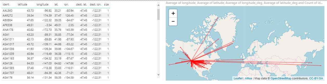
Lines
Icon Map will draw either a solid line or a dotted line on the map. The line can be drawn in dependently, or in addition to an image.
The line is drawn between the longitude and latitude fields and the corresponding Longitude / Latitude – Solid Line or Dotted Line fields.
At the moment, it is also necessary to have a numeric value in the size field, although this is not used in drawing the line.
If an image or SVG is included in the Icon URL / WKT / SVG field, then this will also be drawn.
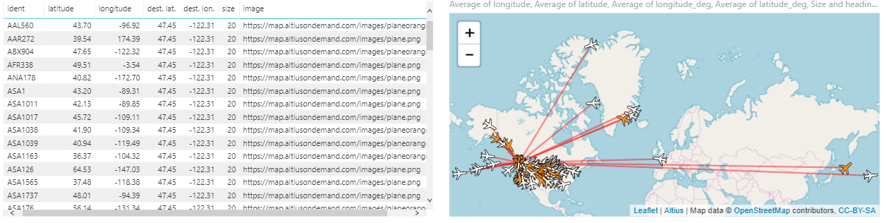
Both the dotted and solid longitude and latitude fields can be populated. This will draw two lines, each from the longitude and latitude fields to the corresponding solid and dotted co-ordinates.

The line width and colour can be set in the Line settings. In addition it is possible to make the lines follow the curvature of the earth by setting the Geodesic Lines option to On.

The width of the lines can also be set by dragging a numeric field in the Line Width field:
